

Share this article
Satellite images can track remote sea turtle nests
When tracking the nesting habits of turtles that circumnavigate the globe, it’s sometimes necessary to take the long view.
Researchers are tapping into satellite images to get an accurate reading of the number of loggerhead turtles (Caretta caretta) nesting on Florida beaches.
“We don’t know as much as we should about sea turtles,” said Paolo Casale, a senior research zoologist at the University of Pisa in Italy and the lead author of the study published recently in Marine Biology.
While a lot of research has been done on sea turtles, Casale said that biologists still don’t know everything about their nesting distribution across the world. While safe, easily accessible nesting beach areas are fairly well understood, remote beaches or nesting areas that lie in conflict zones can present problems for turtle researchers.
“Our current knowledge of the distribution can be a bit biased,” he said, adding that even the information available in the Mediterranean is far from complete. “We don’t know whether turtles are laying clutches in a good part of the North African coast because nobody has every surveyed those regions.”
Casale is particularly interested in Libya, which has been difficult for researchers to access for years due to conflict. But the country has long, sandy beaches in near-pristine condition perfect for turtle nesting. One survey in the 1990s looked at about a third of the country’s coastline and found many nests, but that leaves two-thirds of the area still unknown, for example.
“If we have this kind of uncertainty in the Mediterranean, imagine the kind of gap we can have in other regions,” he said.
He considered using drones to take better photos during key breeding seasons but even these require some proximity to a location, which may put biologists in danger.
Casale and his co-author Simona Ceriani of the Florida Fish and Wildlife Conservation Commission’s Fish and Wildlife Research Institute wanted to see whether they could tap into satellite images to count the tracks turtles make when hauling out onto beaches to lay eggs.
They got satellite images from DigitalGlobe, a company that sells satellite images commercially, on a 7.5 mile tract of the central Atlantic coast of Florida in July 2016 in an area where on-the-ground researchers had counted and tracked the number of loggerhead turtles at the same time.
“The first time we saw that the tracks were visible, we were very excited,” Casale said.
While the ground surveys identified 117 loggerhead tracks, the researchers managed to pick up 73 additional turtle tracks by using the satellite images alone. While they didn’t see all the tracks, Casale said the important thing is the order of magnitude.
“The results make us pretty confident that with satellite imagery we can understand a coastal tract has a certain amount of tracks during the season,” he said.
Plus, they chose loggerheads since they make some of the narrowest tracks among sea turtles. “If we can see the tracks of loggerheads, probably we can see the tracks of all the species,” Casale said, adding that it would be much easier to detect the tracks of larger species like leatherbacks (Dermochelys coriacea) or green sea turtles (Chelonia mydas).
He said that this is important since currently turtle populations are only tracked through counting nests, and tracks at nesting sites, in certain areas that have relatively easy access. But this doesn’t give a full picture on how the population is changing overall.
The satellite image technique will make it much easier to discover turtle nesting sites in difficult-to-access or dangerous regions. This, in turn, will help better understand the distribution of the marine reptiles and will ultimately help in conservation, Casale said. Plus, as satellite images become clearer, researchers will be able to count turtle tracks more precisely.
One example he thinks is pressing goes back to Libya. While the area may still be dangerous for researchers, he worries that hotels and resorts may move into beach areas of the country once hostilities are over in the country.
“This is a very beautiful place. Imagine a pristine sandy place for about 600 kilometers,” he said.
It’s critical for conservationists to get an understanding of the most important turtle nesting areas in the country to protect before any land grab occurs along the coast, Casale said.
“We don’t have so much time to do all the surveys we want,” he said, but conservationists should be ready to examine areas likely to be exploited by mass tourism projects for potential sea turtle nesting sites.
Identifying previously unknown turtle nesting sites in some areas can also help protect from wildlife crime.
“There may be some unknown cases of poaching,” he said, adding that knowing where these nesting sites are is the first step necessary to identify potential illegal markets for turtle eggs.
Header Image: Satellite images of sea turtle tracks can help conservation efforts. ©Cumberland Island National Seashore
Related Posts
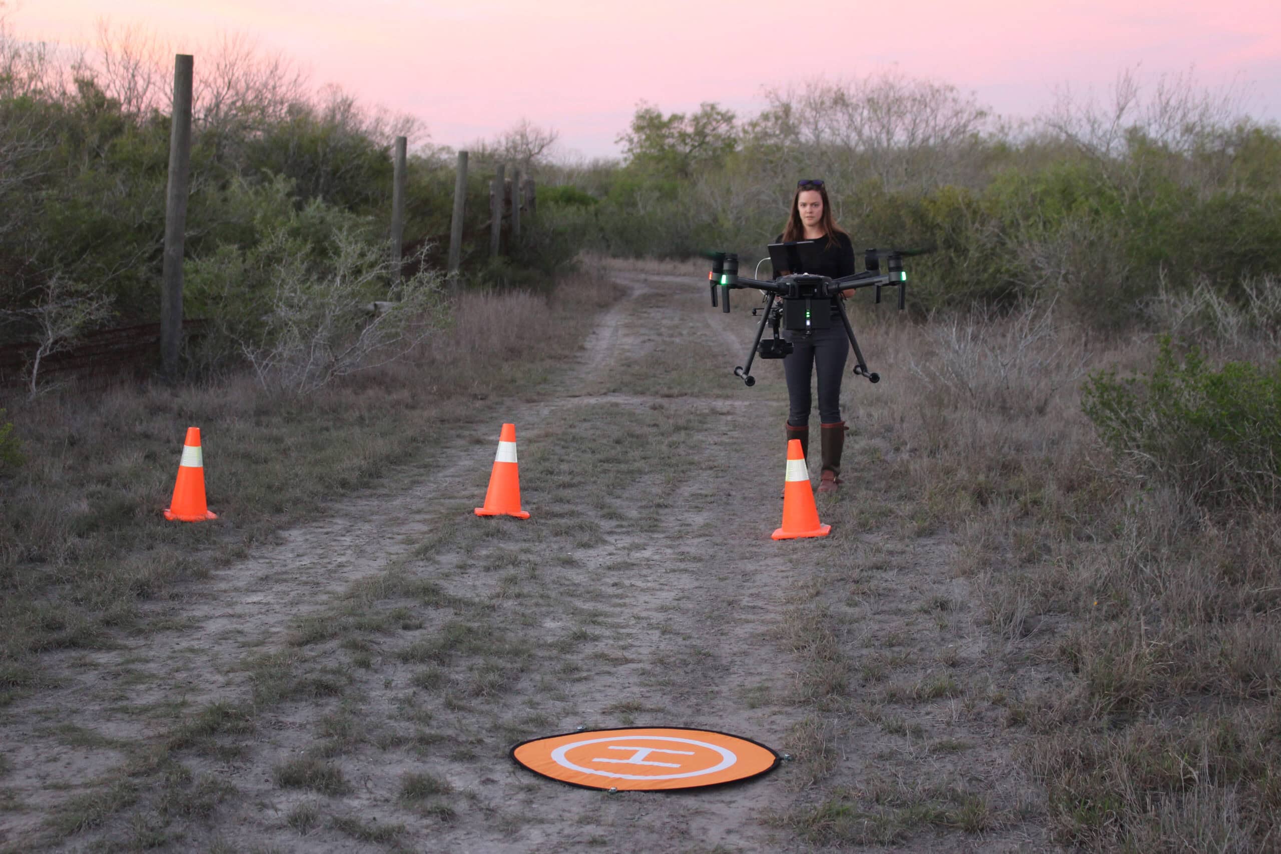
WSB: Study tests accuracy of thermal drone surveys
In South Texas, the heat can be blinding
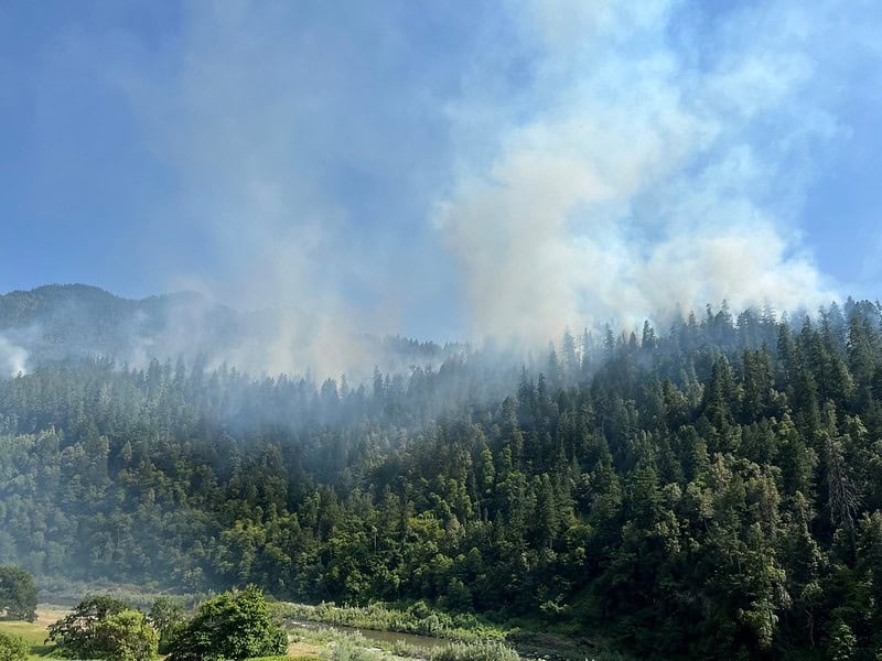
Computer model explores Tribal use of fire for ecosystem health
The Karuk Tribe regularly conducted burns in the fire-prone Klamath Mountains
2024 TWS Elections: Southwest Representative
This year’s nominees for Southwest Representative to TWS Council are Kathy Granillo and Erika Nowak